
Nazca Lines: Peru's Giant Sky Drawings
The Nazca Lines are massive geoglyphs in Peru visible from the sky. They stretch over 200 meters and spark curiosity about their purpose. Archaeologists and historians debate their meaning and creation.
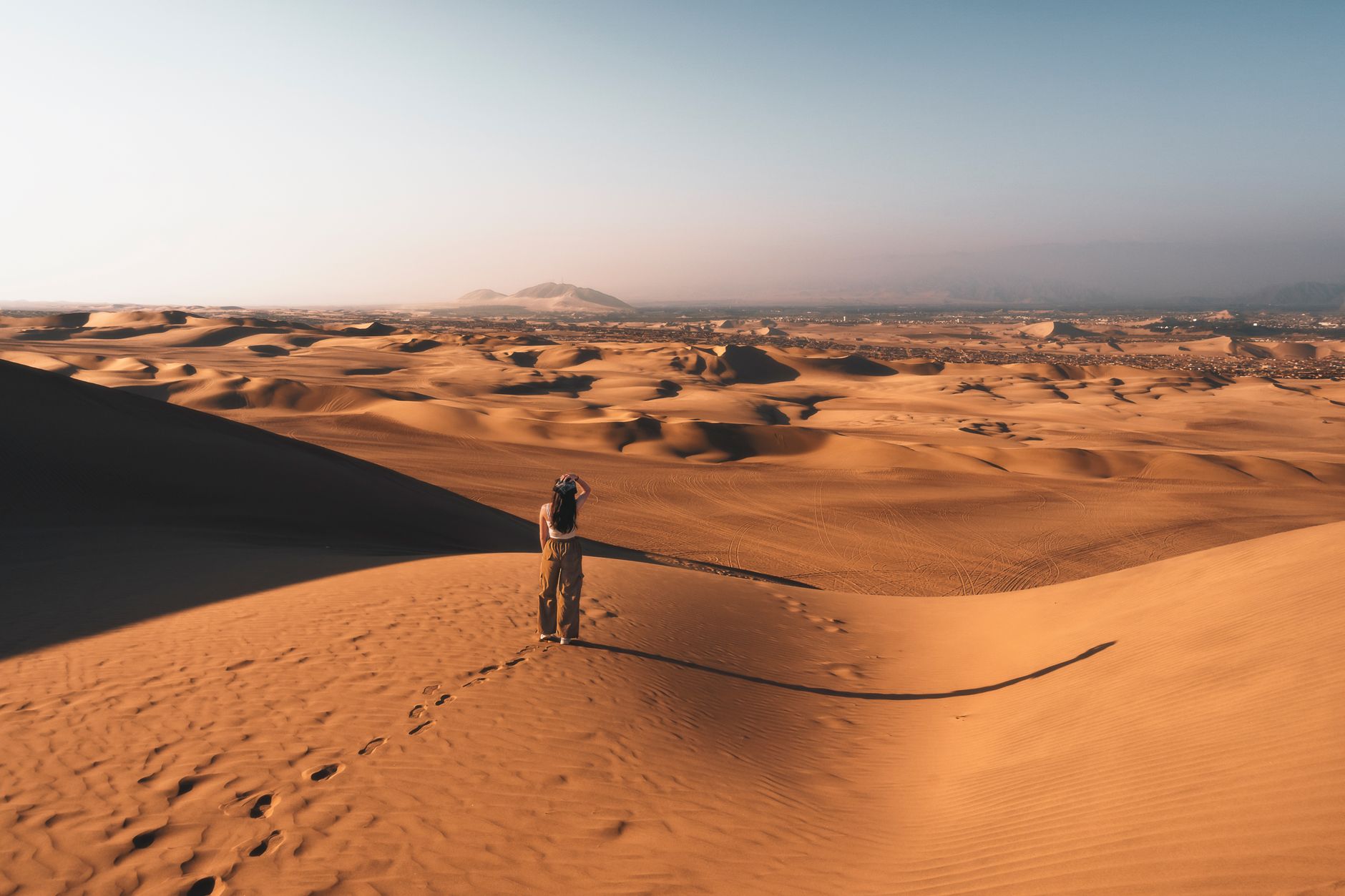
Photo by Mycroft Roxton on Pexels
The Nazca Lines: Messages in the Desert That Were Never Meant to Be Seen
The Nazca Lines stretch across 400 square miles of Peruvian desert, forming geoglyphs so large that they are virtually invisible from the ground. A person standing in the middle of a hummingbird design sees only a scattering of rocks. The full shape—measuring over 200 meters from wingtip to wingtip—only resolves from an altitude of several hundred feet.
The people who made these lines between 500 BCE and 500 CE never saw them from above. They had no balloons, no kites, no viewing platforms. They built something they could not perceive, and they built it with sticks, stones, and a system of measurement that archaeologists are still trying to reverse-engineer.
What Everyone Knows
The Nazca Lines are one of archaeology's most recognized mysteries. Discovered in the 1920s when commercial flights began flying over southern Peru, the geoglyphs became famous precisely because of their aerial visibility. The standard narrative emphasizes the mystery: how did a pre-industrial civilization create precise, kilometer-scale figures without being able to see what they were drawing?
The mystery has generated hundreds of theories. Erich von Däniken, in *Chariots of the Gods* (1968), claimed the lines were landing strips for extraterrestrials. New Age interpretations suggested the Nazca possessed hot-air balloons. Academic archaeologists offered more grounded explanations: astronomical calendars, ceremonial pathways, irrigation markers.
What these explanations often overlook is that the Nazca did not need to see the full design to execute it. They had other tools.
What History Actually Shows
Archaeologists including Maria Reiche, who spent forty years studying the lines, documented that the Nazca created the geoglyphs using a system of fixed reference points. A design was sketched on a smaller scale, then scaled up using ropes stretched between wooden stakes. The stakes, some of which remain embedded in the desert floor, were positioned at key points along the outline. Workers then removed the dark surface stones—the "desert varnish"—exposing the lighter sand beneath.
The process required no overhead view. A crew working along a rope line could follow the curve of a spiral or the edge of a figure without ever seeing the shape they were completing. What looks like aerial planning from above was actually a system of ground-level geometry.
The dating of the lines, established through ceramic fragments found embedded in the geoglyph fill, places the earliest figures around 500 BCE and the latest around 500 CE. The Nazca culture overlapped with the later Huari civilization, but the lines were maintained and extended over a millennium.
The figures themselves—the hummingbird, the monkey, the spider, the condor—have been found near water sources in the region. The Paracas and Nazca cultures, which preceded and coexisted with the geoglyph builders, left ceramics depicting similar animal figures. The geoglyphs were not an isolated phenomenon. They were part of a continuous visual tradition.
The Part That Got Buried
The theory that the Nazca Lines were astronomical calendars—championed by Reiche and still repeated in documentary voiceovers—has not held up to systematic study. Surveys by the German Archaeological Institute in the 2000s found that fewer than twenty percent of the lines align with any significant astronomical event. Most align with nothing at all.
What has been documented is the lines' relationship to water. The Nazca region receives less than an inch of rain per year. The underground water table is the only source of freshwater. Archaeologist David Johnson of the University of Massachusetts argued in the 1990s that many geoglyphs are positioned directly above underground aquifers. The lines, in this interpretation, were maps of water sources, not celestial phenomena.
The argument remains contested, but it reframes the mystery. If the lines marked water, the Nazca were not looking to the sky. They were mapping the one resource their survival depended on, in a language of lines and animal symbols that only they fully understood.
The Ripple Effect
The Nazca Lines were declared a UNESCO World Heritage Site in 1994. Preservation efforts have focused on preventing damage from tourism, vehicle traffic, and the increasing frequency of heavy rains—a consequence of climate change that the original Nazca never had to manage.
The mystery of the lines has also influenced how archaeology approaches large-scale pre-Columbian sites. The assumption that monumental works require aerial planning has been replaced by a recognition that ancient cultures had sophisticated ground-based surveying methods. The Nazca stakes—simple wooden posts—are now understood as evidence of a system that could scale a single design to hundreds of meters with no view from above.
The Line That Says It All
The Nazca Lines are not a mystery because their makers lacked technology; they are a mystery because their makers had a different kind of technology, one that started with a rope, a stake, and the patience to move rocks one by one until the desert floor revealed something that took a thousand years and an airplane for anyone else to recognize.


